|
An archaeological evaluation of a sunken garden feature |
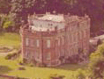 |
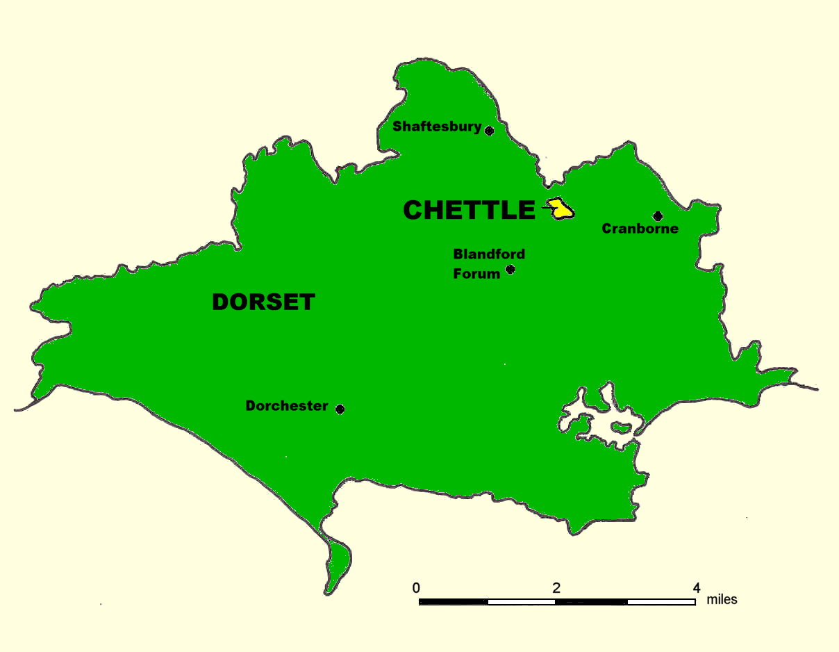
The site Chettle House is approximately 6 miles north-east of Blandford Forum, Dorset (NGR 395150 113200). It was built c. 1710 for George Chafin MP, and was remodelled c. 1845 for Edward Castleman, the railway entrepreneur (RCHME 1972, 11). The House is Baroque in style and is of great architectural importance; during the summer months it attracts many visitors.
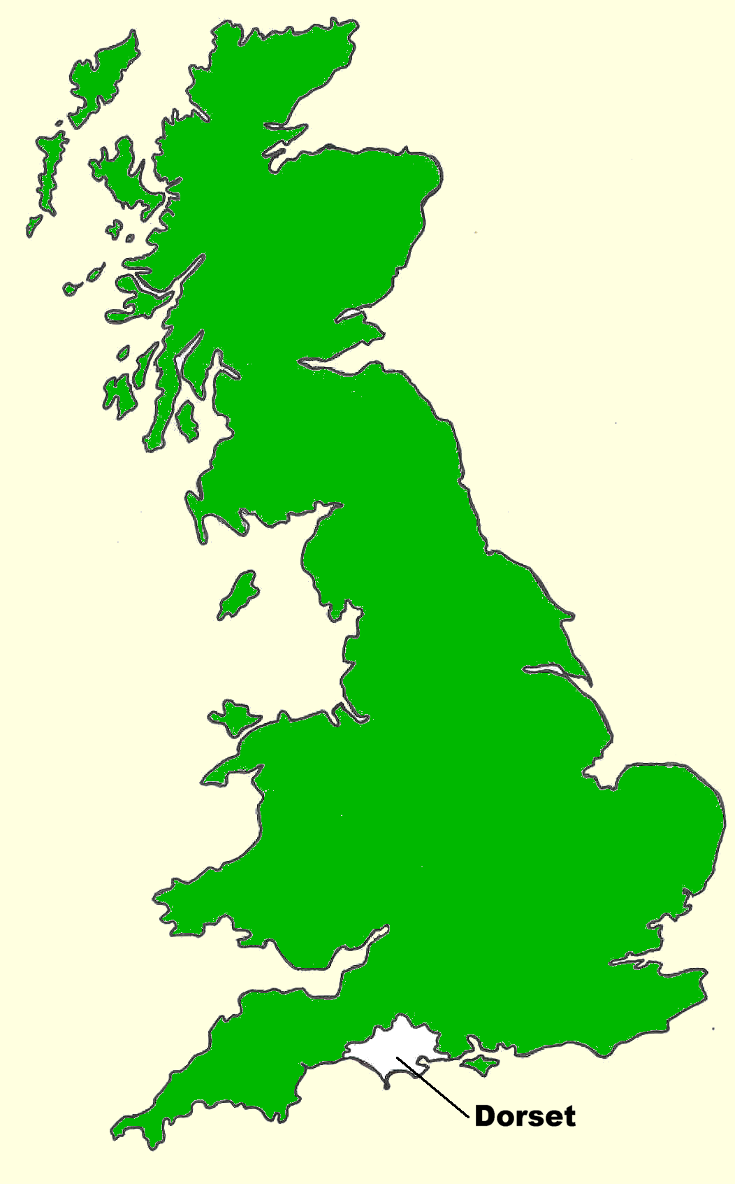
Figures 1a and 1b Location of Chettle within Dorset in mainland Britain (click images for larger versions)
Project circumstances
The present owner, and lord of the manor, Mr Patrick Bourke, has amassed a considerable archive relating to the history of his home. Steve Davies examined this archive during the course of his undergraduate dissertation research at Bournemouth University (Davies 1999). Amongst the documents within the collection is an inventory of the contents of an earlier manor house, the site of which is not known. However, a rectangular parch-mark on a levelled lawn between Chettle House and the parish church of St Mary had been observed and photographed by Mr Bourke. The presence of this feature was confirmed by resistivity survey carried out by Bournemouth University and Yeovil College during June 1998. On the strength of these results, it was decided to undertake a sample excavation (evaluation) as a part of the 1999 Goldfields Farm Project.
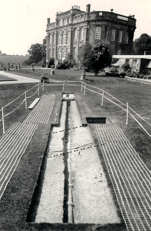
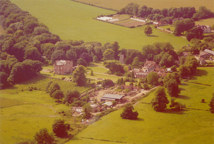
Figure 2 The excavation (looking south-south-west). Feature 2 is defined by the broken lines
Excavation Options for the location of the 1999 excavation trench were considered with great care. It was necessary to cut the rectangular parch-mark at one or more points, whilst limiting disturbance of an area of high archaeological potential. A solution was quickly found because a pipe trench had been hand cut across the lawn during the 1960s, at an appropriate point, on a north-east / south-west alignment. The strategy was to re-excavate the pipe trench fill, and to record the archaeology in section (Figure 2). This had the advantage of examining a section through the north side of the rectangular parch-mark whilst causing no further damage to the archaeology.
Method
A Total Station was used to establish a working grid and to survey the site from fixed points that have been marked by permanent pegs. After further geophysical survey (resistivity and gradiometer), the pipe trench was re-excavated using manual techniques. Features were recorded in plan and in section. The excavation archive is held at Bournemouth University.
Results
Trench 1 The pipe trench, designated Feature 1 (F1), was exposed and excavated for a distance of 14.8m. Originally, it had been cut to a spade's width, approximately 0.3m, into a matrix of hard-packed chalk fragments. For convenience, additional turf and topsoil was removed on both sides of this feature to a maximum total width of 1.5m.
At the mid-point of the excavated length, the pipe trench was found to have cut a rammed chalk feature (F2). Feature 2 was 2.9m wide and it was calculated to continue on an east / west line across the lawn. The position of F2 was consistent with the results of the geophysical surveys and it is certain that this was the cause of the parch mark.
The finds from the excavated pipe trench included ceramic building materials, potsherds, broken clay tobacco pipes, and iron nails. Apart from one sherd of re-deposited Iron Age Black Burnished Ware, all of these objects were of post-medieval origin. They had no contextual value and were of no practical help in determining the nature or date of F2. Further clarification was needed but the presence of a ceramic pipe within the trench prevented continued vertical excavation.
Trench 2 In order to determine the depth of F2, a 1m square test pit was excavated adjacent to, and west of, Trench 1 (Figure 2). Unobstructed by the pipe, it was possible to prove that F2 (here known as F3) achieved a depth of c. 0.4m at this point, the base resting upon hard natural chalk. The exposed (south) side of the feature was vertical suggesting that it had been constructed within a foundation trench.
Trench 3 was a 2m x 1m southward continuation of Trench 1. Its purpose was to extend the pipe trench sample but excavation was impeded by the presence of a second ceramic pipe and work was aborted.
(Click on image to view larger version)Discussion
Consideration of the purpose of the rammed chalk feature (F2 / F3) prompted a number of suggestions. An oral tradition asserts the presence of a garden pathway at this location, and this seems to be the most likely explanation. The levelled nature of the site is indicative of eighteenth- or nineteenth-century formal garden works and the rammed chalk feature would make sense if interpreted as the foundation of a rectilinear pathway. The location of the earlier manor house remains unresolved. It is possible that the site was destroyed during the process of garden landscaping, or the building of the present Chettle House. An alternative candidate is the seventeenth-century St Mary's Farm (NGR 395200 113300) that is situated just to the eastnortheast of the parish church (Figure 3). Positive earthworks can be seen in a field 200m east of Chettle House and these warrant a geophysical survey. Papworth (1999) was able to compare documentary evidence with the results of field survey and excavations to identify the site of the pre-eighteenth-century manor house at Kingston Lacy (Dorset). A similar programme of research is proposed for Chettle House.
Bibliography
Davies S, 1999. Topographic Survey and Interpretation of Historic Landscape Features in the Area of Gussage St Andrew and Minchington, Sixpenny Handley. Bournemouth University, unpublished dissertation for the Degree of BSc (Honours) Heritage Conservation
Papworth M, 1999. The Medieval Manorial Buildings of Kingston Lacy: Survey and Excavation Results with an Analysis of the Medieval Account Rolls 1295-1462. Proceedings of the Dorset Natural History and Archaeological Society 120: 45-62
RCHM(E), 1972. Historical Monuments in the County of Dorset 4 (North). London, Her Majesty's Stationery Office
Page content by Iain Hewitt (BU Staff), Steve Davies, Matthew Pellatt-Shand, and Tim SchofieldComments and enquires should be addressed to:
Iain Hewitt
School of Conservation Sciences,
Bournemouth University, Talbot Campus,
Poole, Dorset, BH12 5BB, UK
Web page compilation by Eileen Wilkes, School of Conservation Sciences, Bournemouth University. Last updated 21 September 2001
All images are copyright Bournemouth University unless otherwise stated.