The extensive boundary system has a number of components. Starting in the east, a linear ditch about 1m wide and up to 0.5m deep runs on a north-east to south-west alignment (F14/F28) for a distance of about 25m before turning sharply north-west and continuing for a distance of about 8m (F17). There is then a gap of 7.5m before the ditch continues on northwards for another 29m (F272/F297). After another gap the ditch recommences under the present baulk, turning north-westward and continuing across Site K for another 20m (F400). Exactly where it runs beyond the western edge of Site K is not yet known.
Immediately south of the sharp corner in ditch F28 already referred to is a second line of ditch (F68) which starts under the baulk between Sites H and I, and runs south-westward for a distance of at least 15m. The gap of about 1.5m between F68 and F28 may have been an entrance into the space west of F17/F272. All of these ditches show some evidence of re-cutting, and the fills contain Neolithic pottery and numerous complete leaf-shaped arrowheads. Whether the ditches were ever flanked by a bank is not known; certainly none survives within the excavated areas. For much of its course, especially north of the sharp corner in Site I, the ditch profile is asymmetrical, with a steeper north side and a more shallow southern side.
Ditch F68 appears to have infilled fairly soon after being dug. It was sealed by a layer of stones packed into its upper fill. This fill was in turn overlaid by a thin layer of soil, possibly the result of excavating a new line of ditches some 1.5m to the north. This new line, represented in Site I by two segments (F127 and F281) and in Site M by a further segment (F474) is thus a causewayed ditch effectively joining (and stratigraphically cutting) the corner of ditch F17/F28. The alignment of the causewayed ditch extends the line of the non-causewayed ditch F28/F14 south-westwards. Geophysical surveys have traced the causewayed ditch for a distance of about 80m in a generally south-westerly direction.
The
gap between segments F127 and F281
in the causewayed ditch is about 2.5m wide and appears to have formed an entrance.
A sequence of three postholes on the east side and six on the west side suggests
some elaboration and periodic reconstruction. A cobbled stone surface extending
for over 7m either side of the entrance, sealing the earlier ditch F68, is
further evidence that this entrance received heavy usage. Moreover, the natural
surface north of the entrance appears to have been eroded in the form of a
slight hollow-way leading into the centre the enclosure defined by the ditches
west of F272 and south of F400.
The causewayed ditch segments were re-cut on at least three occasions. In its last phase, the most easterly, F127, had a narrow slot cut along its southern edge. Stone slabs were set upright in the slot, a large granite erratic being set in the slot adjacent to the entrance. A second similar stone may have been set on the other side of the entrance, perhaps as a final replacement for the earlier wooden setting, but only the stone socket survived at the time this area was excavated. White quartz pebbles were found on or near the bottom of all the ditch segments.
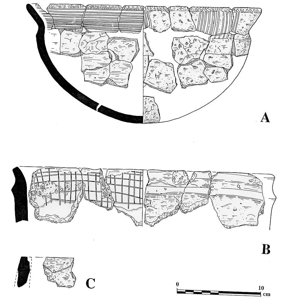
Within that part of the interior of the enclosure defined by F272 and F400 that has been excavated to date there are three sets of putatively Neolithic features. Towards what must be the centre of the enclosure, and approached from the south by the hollow-way leading in from the entrance, is a large pit (Photo) F376, in the bottom of which was a shaft. The pit was about 6m in diameter with gently sloping sides. In the upper fill was a hearth in which lay the remains of three early Neolithic bowls. Under the hearth was what turned out to be the burnt remains of a series of planks. A radiocarbon date on the charcoal from one of these timbers suggests that the tree from which the plank was made was cut down about 4899-4719 Cal BC (5910±70 BP (Beta-110691)). Below the planks was the top of a circular shaft extending downwards from the bottom of the pit. Only the uppermost 0.5m of fill was removed in 1997; work during the 1998 season revealed that it had a total depth of 3m.

|
Also within the enclosure, in Site L, was a spread of stiff grey clay (F432), rectangular in plan approximately 3.5m by 1.5m, with a posthole at one end and two stakeholes near the other. This feature is provisionally interpreted as the floor of a temporary structure, although its date has not yet been determined. At least three large shallow pits are also shown within the enclosure.
To the south of the Neolithic boundaries
there are few features: a small stone cairn (Darvill 1996a, 20), a series
of undated postholes, a short length of gully (F222),
a scoop (F233), and a narrow gulley
(F231) running parallel to the main
ditch F14. The soil in this area is rather deeper than to the north of the
ditch system, suggesting perhaps that the areas either side of this boundary
were subject to differential land-use at some stage. To the north-east of
the boundaries there are two further scoops (F244
and F242), but most of the features here seem to be later in date.